City Wants You To Weigh In: What’s the Best Way To ‘Connect Downtown’?
| | No Comments
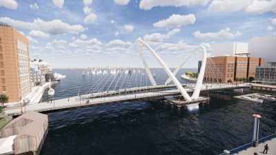
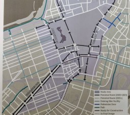
On Thursday evening, the City of Boston’s Transportation Department revealed conceptual designs for pedestrian improvements and high-quality bikeways across the Common and downtown Boston at an open house for its “Connect Downtown” project. “Connect Downtown” aims to extend the Southwest Corridor that runs from Forest Hills to Back Bay and connects Jamaica Plain and Roxbury […]